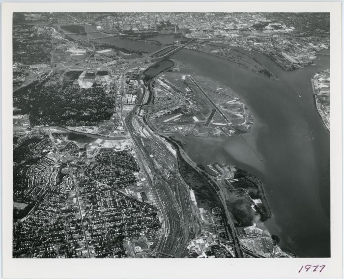
Aerial of Southeast Arlington
(Image)
235-0073
June 30 1977
Aerial view of the Jefferson-Davis Corridor with the National Airport visible in the center and the Pentagon to the upper left.
1 print : b&w ; 8 x 10 in.
This image is subject to copyright. Unauthorized use of the images in the Arlington Community Archives is prohibited.